Welcome! Thinking about joining us on a Sunday morning? Visitors and newcomers are always welcome, and we have ushers available to help you navigate and to answer questions.
Details about Worship are here, including how to attend virtually.
Kids & Youth at First U
Families with Children will find a warm welcome at First U. Learn more about what to expect when you visit with children and youth here.
A Place to Start
In person, immediately after worship, generally on the first and third Sundays of the month
View the Church Calendar below to look for the next time we offer A Place to Start.
Facilitated by one of our members, A Place to Start is a brief, casual orientation to Unitarian Universalism and First Universalist Church. During this 45-minute class, participants will learn about the foundations of our faith tradition and opportunities to get involved. The facilitator will be holding a green “Here is A Place to Start” sign at the front of the sanctuary after the worship services. We look forward to welcoming you!
Please note the church does not provide childcare during A Place to Start due to full Sunday morning Religious Education and volunteer schedules. Kids are welcome in A Place to Start after they’re picked up from RE. Options for kids during A Place to Start are the same as in worship: coloring sheets and pipe cleaners, and moving to a more kid-friendly space within the sanctuary. You’re also welcome to ask another trusted adult to watch your child(ren) during this time if you prefer.
If you can’t make it, or prefer to connect with a staff person one on one, please fill out the Visitor Connect Form so we can follow up with you. We do our best to respond to submissions within two business days. Thank you!
Newcomers Circle
See the calendar below for our next scheduled Newcomers Circle.
Newcomers Circles create a rich, supportive environment in which to share and grapple with our emerging UU values, theology, identity, and sense of belonging. This 4-session gathering is a caring and structured group to dig deeper into Unitarian Universalism and further connection at church. This Circle is intended for members and non-members alike who are discerning if and/or how they will commit to and continue their spiritual journey at First U as Unitarian Universalists. Please plan to attend at least three of the four sessions. The first session is required for group cohesion and trust building. Newcomers Circle is not a replacement or prerequisite for the Membership Class—they are complimentary curriculums that may be done in any order.
Membership
Does First Universalist feel like your spiritual home? Become a member!
We welcome all who wish to join us on the path of giving, receiving, and growing into membership at First Universalist Church. Choosing membership is a spiritual act. As a non-credal religious community, members are not required to profess certain beliefs in order to be welcomed into our religious community. Rather, membership asks us to walk our spiritual path with courage and care, ever mindful of our covenant with one another to dwell together in peace, seek the truth in love, and to help one another.
Per our bylaws, Members are asked to make a pledge/annual gift of record to the congregation. If finances are a challenge, a waiver can be requested. We believe that money should never be a barrier to membership.
If you’re interested in exploring what it’s like to be part of this community, but not ready to become a member yet, check out check out a monthly Community Dinner, “A Place to Start” or options for Spiritual Growth.
Visit the Membership Class page to access class materials.
Being Welcomed by the Congregation
After completing the membership class, new members will be invited to participate in our New Member Welcome Ceremony during a future Sunday worship.
If you’re interested in exploring what it’s like to be a part of this community, check out a monthly Community Dinner, “A Place to Start” or options for Spiritual Growth.
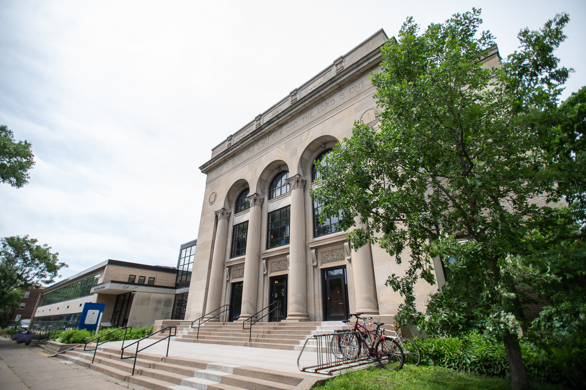
Getting to First U
First Universalist Church is located at:
3400 Dupont Avenue South
Minneapolis, MN 55408
Open a Google map and get directions.
First Universalist Church is located in the South Uptown neighborhood of Minneapolis on Dupont Avenue South, which is a one-way street going north, between 34th and 35th Streets.
Parking
We have a parking lot next to our building for visitors, people with limited mobility, and people with small children. On Sundays, we encourage members to seek out street parking around the church building in order to keep our parking lot available for visitors and those who especially need it.
Biking
A number of bike racks are available outside of the building.
Bus
We are easily accessible by bus. Metro Transit‘s Route 4 runs along Bryant Avenue, two blocks to the east, and Route 6 runs along Hennepin Avenue, four blocks to the west.
Visitor Connect Form
Would you like to have a staff member connect with you? Let us know.
Events for Newcomers
Look for the next time we’re offering A Place to Start, Newcomers Circle, and Membership Classes here.